Geographic Information System (GIS) is a tool commonly used for mapping activities and geographic data management.
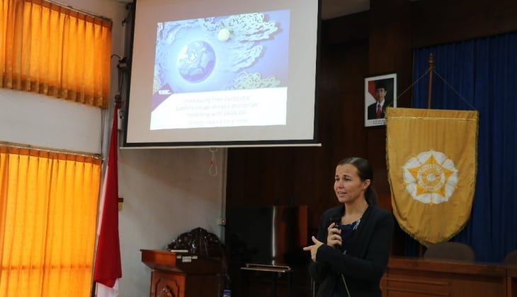
“Students should use free and open source geospatial software. Since research funds for students are limited, free software is beneficial and easy to use, ” said Dr. Sarah Hobgen, a researcher at the Research Institute for Environment and Livelihoods, Charles Darwin University, Wednesday (4/7) at the Auditorium of the Faculty of Biology. While delivering a guest lecture entitled “Free and Open Source Mapping for Environmental Science” in front of students and lecturers, Dr. Hobgen also introduced free GIS software, like SAGA and Quantum GIS.
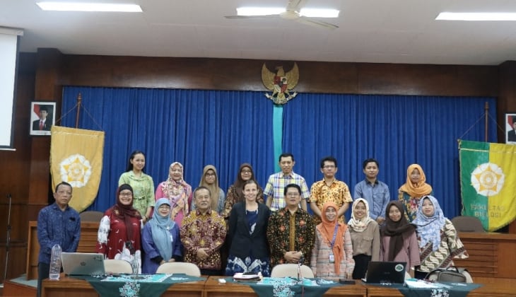
Closing the lecture, Dean of the Faculty of Biology, Dr. Budi S. Daryono, hoped this program might become a place to share information and knowledge, especially regarding the use of GIS in natural science research. He also mentioned that the guest lecture was part of the Central Java Field Intensive (CFFI) program between the Faculty of Biology and Charles Darwin University.


