Yogyakarta, 14–15 July 2026 – Participants of the International Summer Course on Tropical Biodiversity and Sustainable Development 2026, themed “From Ecosystems to Repositories: Data-Driven Insights into Tropical Biodiversity,” took part in a two-day field expedition as part of the program’s experiential learning component. The field trip enabled participants to integrate classroom knowledge with hands-on practice through biodiversity exploration, the application of geospatial technologies, and specimen documentation and preservation techniques at several sites in Central Java and the Special Region of Yogyakarta.
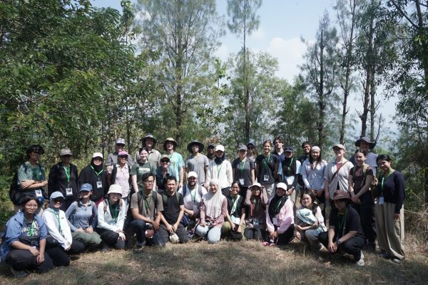
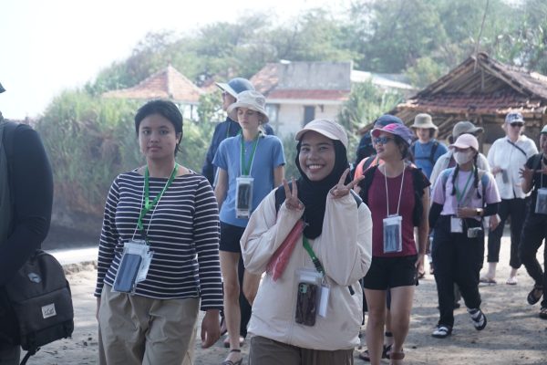
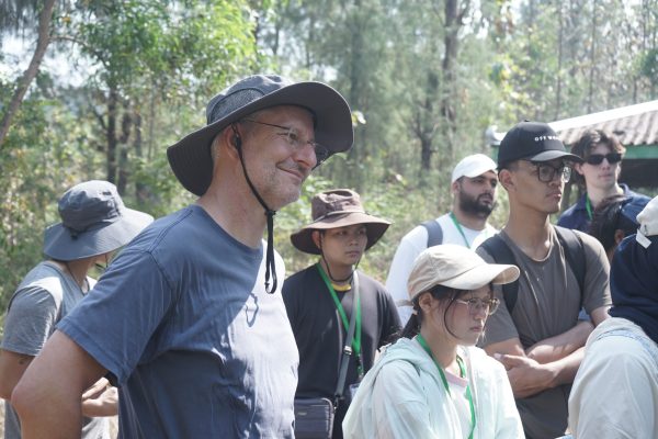
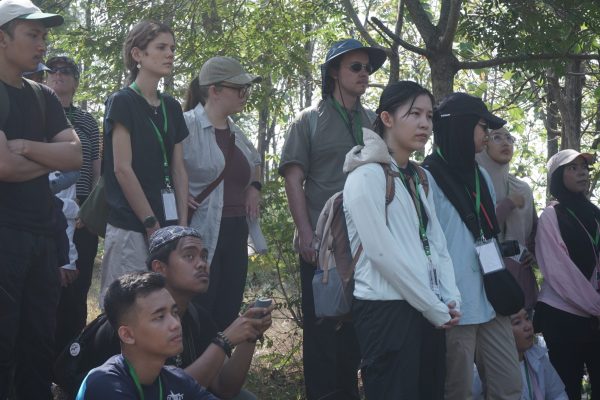
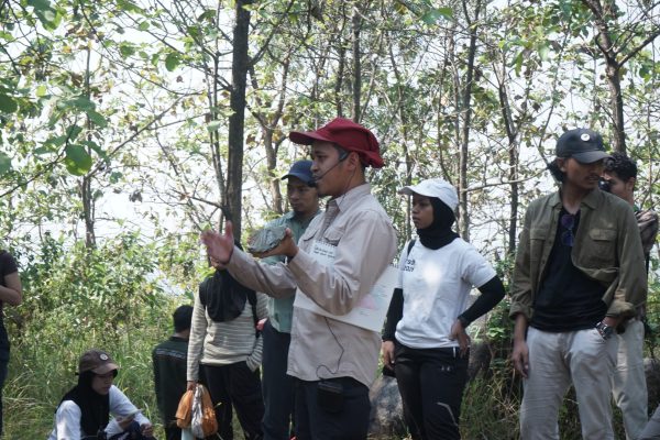
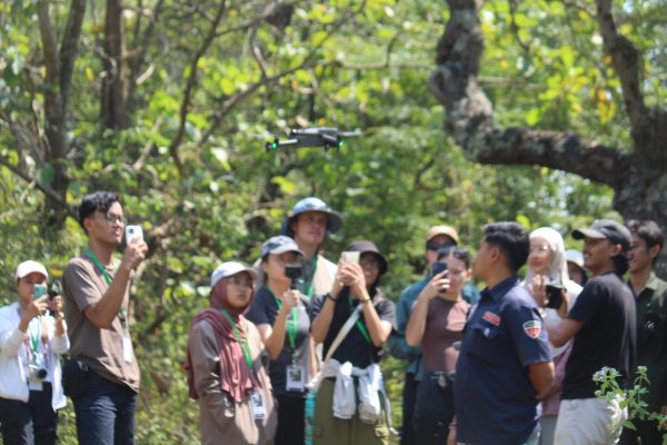
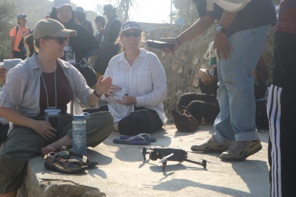
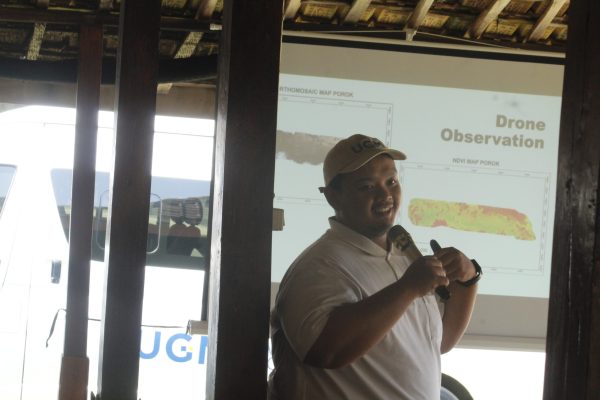
The first day of the field activities followed a pre-departure orientation led by Dr. Eng. Thoriq Teja Samudra, M.Sc. and Dr. Ir. Yan Restu Freski, M.Eng., held on Monday (13 July), before participants departed for the Bayat Geological Station in Klaten and Porok Beach in Gunungkidul. At the Cemoro Sewu area in Bayat, participants attended an introductory session and hands-on training in drone operation, facilitated by Dr. Ir. Yan Restu Freski, M.Eng. and the Aksara Team. The unmanned aerial vehicle (UAV) technology was introduced as a modern approach for collecting spatial data to support habitat mapping and efficient ecosystem monitoring.
In addition to learning about geospatial technologies, participants conducted biodiversity exploration under the guidance of Mukhlish Jamal Musa Holle, S.Si., M.Env.Sc., D.Phil. and Dr. Rury Eprilurahman, S.Si., M.Sc. During the session, participants observed various components of biodiversity in the field, learned scientific observation techniques, and collected ecological data that will serve as the basis for subsequent biodiversity analyses.
In the evening, participants gathered for a networking session featuring a barbecue dinner and interactive games. The informal setting provided valuable opportunities for participants and facilitators to exchange experiences, strengthen international connections, and discuss issues related to biodiversity conservation and sustainable development.
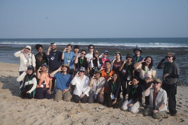
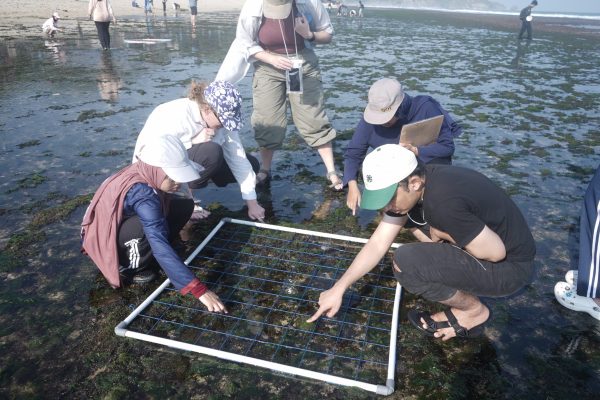
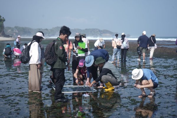
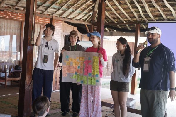
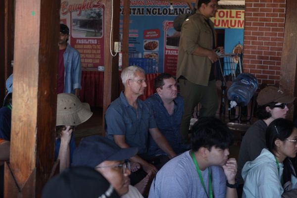
The second day began with a visit to Porok Beach, Gunungkidul, where participants carried out coastal field sampling. Before entering the field, they received briefings on field preparation, safety procedures, biodiversity sampling methods, and drone-based observations. The activities were complemented by focus group discussions (FGDs) and participant presentations reflecting on previous classroom sessions.
Participants then conducted coastal biodiversity sampling under the supervision of Dr. Rury Eprilurahman, S.Si., M.Sc. and Dr. Eng. Thoriq Teja Samudra, while drone-based spatial data collection was led by Dr. Ir. Yan Restu Freski, M.Eng. together with the Aksara Team. By combining direct ecological observations with drone technology, participants gained first-hand experience in integrating biological and geospatial data to support comprehensive coastal ecosystem analysis.
As part of the program’s commitment to open science and citizen science, all field observations were documented and uploaded to the iNaturalist platform, allowing the collected biodiversity records to contribute to a global database supporting scientific research and conservation initiatives. The field trip concluded with a reflection session before participants returned to the Faculty of Biology UGM to continue the remaining activities of the International Summer Course.
Through this field expedition, participants not only gained practical experience in biodiversity exploration and the application of geospatial technologies but also strengthened their interdisciplinary and intercultural collaboration skills in addressing contemporary biodiversity conservation challenges.
The activity also contributes to the achievement of the United Nations Sustainable Development Goals (SDGs), particularly SDG 4 (Quality Education) by promoting experiential learning, SDG 15 (Life on Land) by strengthening capacity in biodiversity exploration and conservation, SDG 13 (Climate Action) through the application of geospatial technologies for environmental monitoring, and SDG 17 (Partnerships for the Goals) by fostering collaboration among academics, students, and international partners in advancing science and sustainable development.